SatNOGS Network supports the following:
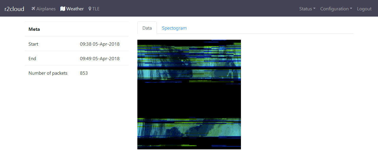
A waterfall image generated by the SatNOGS Client
Audio of the recording
And data that might be decoded including data frames, pictures, and more (this is expandable)
Should I upload waterfall? Is it mandatory? I could generate one no problems. However algorithm (written in Java) differs from the official satnogs’s client. Is it ok?
Should I upload audio of the recoding? r2cloud stores raw .wav file which might take a lot. If audio file is not required, then I would prefer to skip this step.
How can I send the data? Is there any officially approved format? I guess for satellites it should be simple binary format. But for weather satellites, it might makes sense to send whole picture. See Defintion of NOAA APT frames
Currently, you can only upload waterfall, audio and data if a pass has been scheduled through the network, otherwise they will be rejected for obvious reason.
There is another possibility to upload data to the DB, but currently it only works with well defined telemetry and not yet suitable for weather satellites images.