You received a beautiful photo !
2 Likes
2023-04-14 07:28:00 UTC
2023-04-14 07:29:50 UTC
2023-04-14 07:30:26 UTC
4 Likes
2023-04-14 09:05:19 UTC

4 Likes
2023-04-14 20:16:41 UTC

3 Likes
Geoscan-Edelveis is happy to see new satellites besides him on LEO orbit after SpaceX lauch.
So he decided to transmit more photos ![]()
17.04.2023 scheduled (UTC Time):
Image 1: 08:55:00 + 08:57:00 (61.03, 20.37)
Image 2: 16:35:00 + 16:37:00 + 21:43:00 + 23:18:00 (63.47, -51.63)
18.04.2023 scheduled (UTC Time):
Image 3: 06:50:00 + 06:52:00 (26.03, 87.83)
Image 4: 08:23:00 + 08:25:00 (43.59, 36.34)
Image 5: 09:54:30 + 09:56:30 + 09:58:30 (44.44, 12.63)
Image 6: 16:04:00 + 16:06:00 + 16:08:00 (63.97, -20.20)
19.04.2023 scheduled (UTC Time):
Image 7: 05:04:00 + 05:06:00 (55.73,110.36)
Image 8: 07:48:00 + 07:50:00 + 07:52:00 (39.48, 45.94)
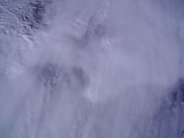
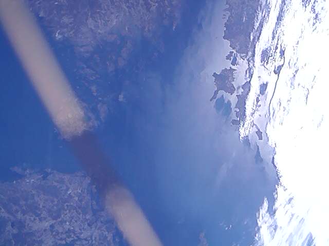
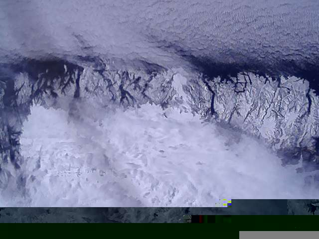
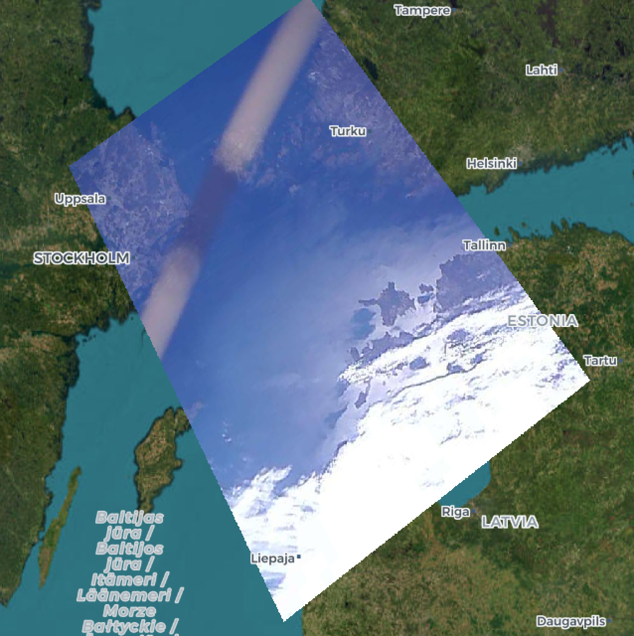
Finland, Estonia, Latvia and Sweden with Baltic Sea.
3 Likes
What is that belt-like thing? The antenna?
@DL4PD Presumably this is a string which held the antenna folded before the deploy. It’s cool that we captured it:)
1 Like
2 Likes
Thanks @geoscan for providing the hints on where this image was taken. Finding it blindly on a world map is very challenging!
4 Likes
@tammojan Great projection of the photo onto the map. Did you do it manually or did you use some software ?
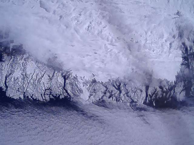
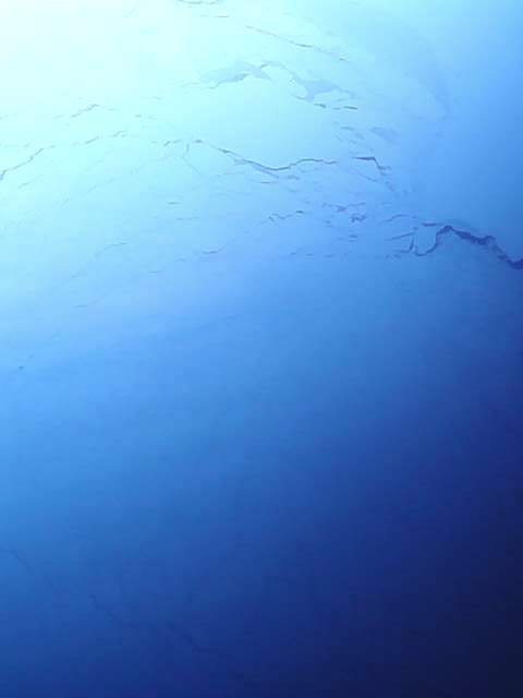
Full Image #2 (Greenland - 62.694554, -48.715706)
3 Likes
I use the georeferencer of QGIS. It requires you to click reference points on both the photo and a map, so it’s still a manual process. The program takes care of the projection, and it saves the output as a GeoTiff, i.e. reprojected image with coordinate information.
3 Likes
Thank you. I was looking for something like this.
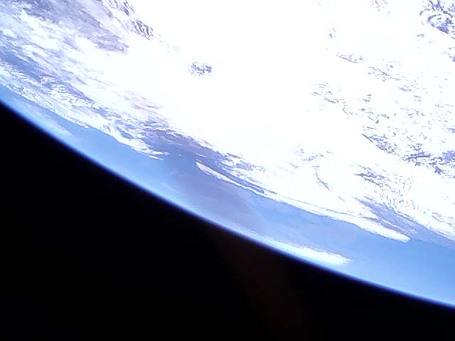
Picture of transmission 18.04.2023:
Image 5: 09:54:30 (44.44, 12.63)
73 de David EA4SG
4 Likes
I will try to capture Greece from Geoscan-Edelveis in an hour. Although orientation control is now turned off, there is still a chance.
Transmissions scheduled for 9:20, 9:22, 9:24.
We got Sun over Greece ![]()

3 Likes
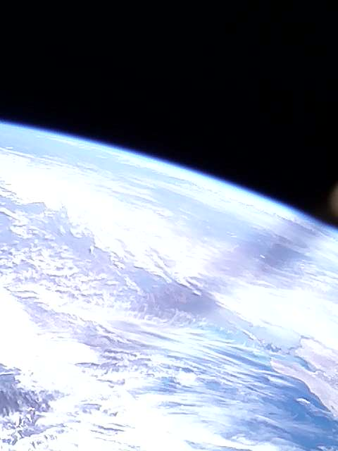
07-52 uts,Location KO85MX.
5 Likes
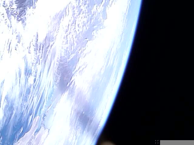
Beautiful picture from Geoscan-Edelveis capturing North pole with visible terminator. Received by SatNOGS Network - Ground Station Shed yagi on SatNOGS Network - Observation 7447372
6 Likes