Also the one on station 6 has the WIP CW flowchart it seems or something. Your waterfall is so nosiey because of a problem in the current flowchart for CW so I suggest trying to compare another type of observation.
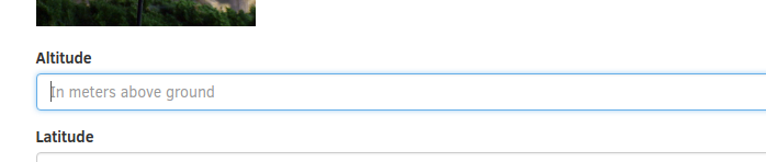
In my satnogs client I think I put 2m, it’s not clear if they want elevation above sea level, or rotator elevation from ground. Also I believe you have to put elevation in your station info on the website, should I be using above sea level or above ground?
Please use height above sea level (ASL) for your stations!
“Apomahon” is running an older version of satnogs-client - sure one before the CW decoder’s waterfall broke.
Then we need to clarify that in the instructions. Here in Seattle, it’s almost the same thing and the unit is meters or localized to metric/SAE? I will fix the Wiki tonight.
Question … So in Colorado, I used to live at 10,000 ft / ~3200 Meters but just north of a 14,000 ft mountain ? How do you calculate the lowest elevation?
The reason we need this height/elevation is that we use it for calculation of the passes. We use pyephem for it and as you can find in its documentation (search for sea in the link):
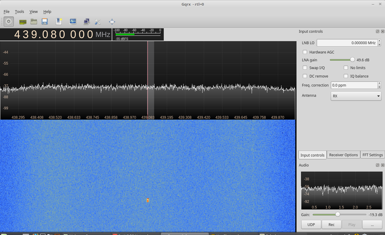
To test my SDR, I’m running gqrx on my Linux laptop. But, you should be able to do the same thing on any program to drive your RTL-SDR. I “kerchunked” my local 36/96 repeater (input is 146.36 MHz). The third harmonic is 439.08 MHz. The RTL-SDR can pick it up with no problem.
 )
)