Thank you. Wonderful pictures
Wow, mesmerizing. Thank you.
Yes. This need to be fixed:)
The Dwingeloo radiotelescope (operated by @cgbsat, Paul PE1NUT and Roel PG4R) tracked Geoscan-Edelveis this morning, at 2023-01-03T08:39 - 8:49. The observation had 1180 decoded packets, which may contain duplicates because we also run gr-satellites. Jan @PE0SAT tried to decode the images, but got quite bad results.
Hello!
Thank you very much for trying to receive our signal. There was two transmissions which are both visible on waterfall. Each one was containing a same image, so data should be interpreted as such. Purpose of this is to minimize amount of lost packets and get full image. I am sure that 1180 packets should contain a full picture!
I have made some small changes and also wrote a GUIDE on the three methods I have used to produce the images earlier in the thread. Please read and try out, any errors or comments are welcome here or in the Issue tracker.
Wow. Thank you very much for your work!
I can confirm that at least method 2 of @SA2KNG’s guide is fool-proof, as I can reproduce the image he has posted on Twitter.
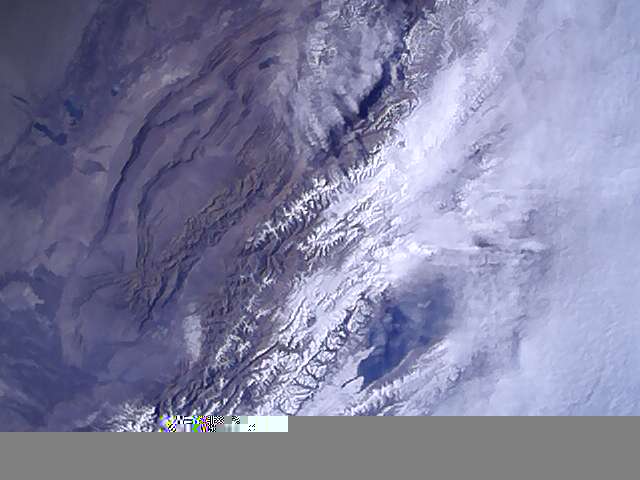
This looks like some mountains under clouds. I’m curious if any location metadata about this image is available. @geoscan Do you know where / when the image was taken, and what the field of view is?

Thank you!
I added coordinates of the satellite on the initial post.
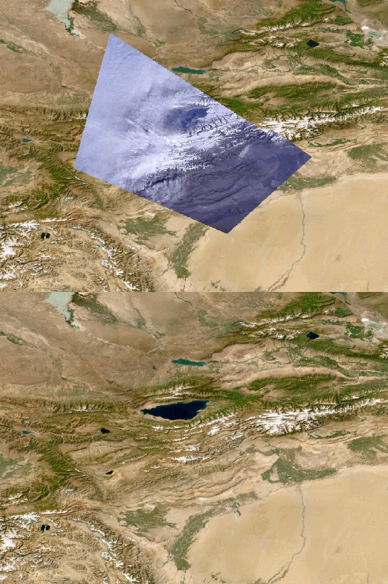
On this image is beautiful view on Almaty, Kazakhstan and its mountainous outskirts:) You can see Issyk-Kul lake on the picture:)
@geoscan Just wondering can we have an image of the Great Lakes in NA?
Thanks for adding the image coordinates!
Will there be any image downlinks before the end of this week? And can we post requests for parts of Earth to image?
Of course we can try:)
I’m already planning them.
Sure you can and we will try to capture these places:)
Please mind that cubesat have passive altitude stabilization and orientation depends on magnetic field. So cubesat looks on Earth from ~30 ° north latitude
I had some fun overlaying the image on another satellite image of Almaty, Kazakhstan and its mountainous outskirts ![]()

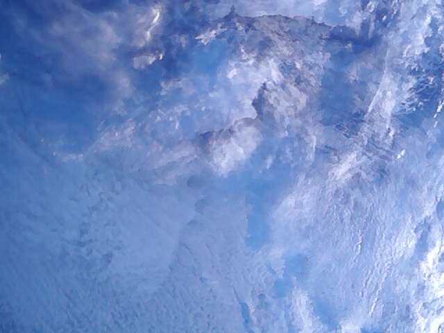
Here are some more image transmissions! Some of them might be intentionally larger.
03.01.2023 scheduled (UTC Time):
Image 1: 21:38:40 + 21:39:20 (61.12, -166.88)
04.01.2023 scheduled (UTC Time):
Image 2: 08:18:00 + 08:20:00 (61.12, -166.88) should be different but only image 1 transmitted
Image 3: 22:38:40 + 22:40:20 (45.24, 11.83)
05.01.2023 scheduled (UTC Time):
Image 3: 07:51:20 + 07:52:40 (45.24, 11.83)
Image 4: 09:24:00 + 09:26:00 (36.67, 21.07)
Image 5: 15:37:00 + 15:38:00 (49.04, -6.35)
Just two stations on that one (guess who ![]() ), does not produce an image, will have to look at it tomorrow.
), does not produce an image, will have to look at it tomorrow.
The “intentionally larger” format broke my program pretty bad. I can fix it thou, I think ![]()
2023-01-03 21:38 (48k)

2023-01-04 08:18 (32k)

Perhaps another milestone is now reached, I’ve integrated the image demod in my stations.
If you look at obs #6972987 in the data tab, there’s an image (not rendered there, yet), data_6972987_2023-01-04T22-36-42.jpg
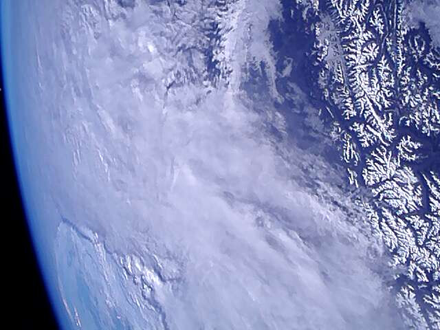
Which is this one from 2023-01-04 22:36

Anyone interested should have a look at the latest commits in satnogs_gr-satellites, both docker images :addons and :lsf-addons contains these.
Amazing photo of alps! And great work with adding image demod. Thank you very much!
Hmm… Do you see some strange white dot near Earth horizon on the left of the picture? What can it be?
Surely not the moon? ![]()
yep, it depends on the renderer, but it’s a quite distinct dot, not sure it has the radius expected ? someone good with calculating the position at that time ? @jupitersaturn09 perhaps ?