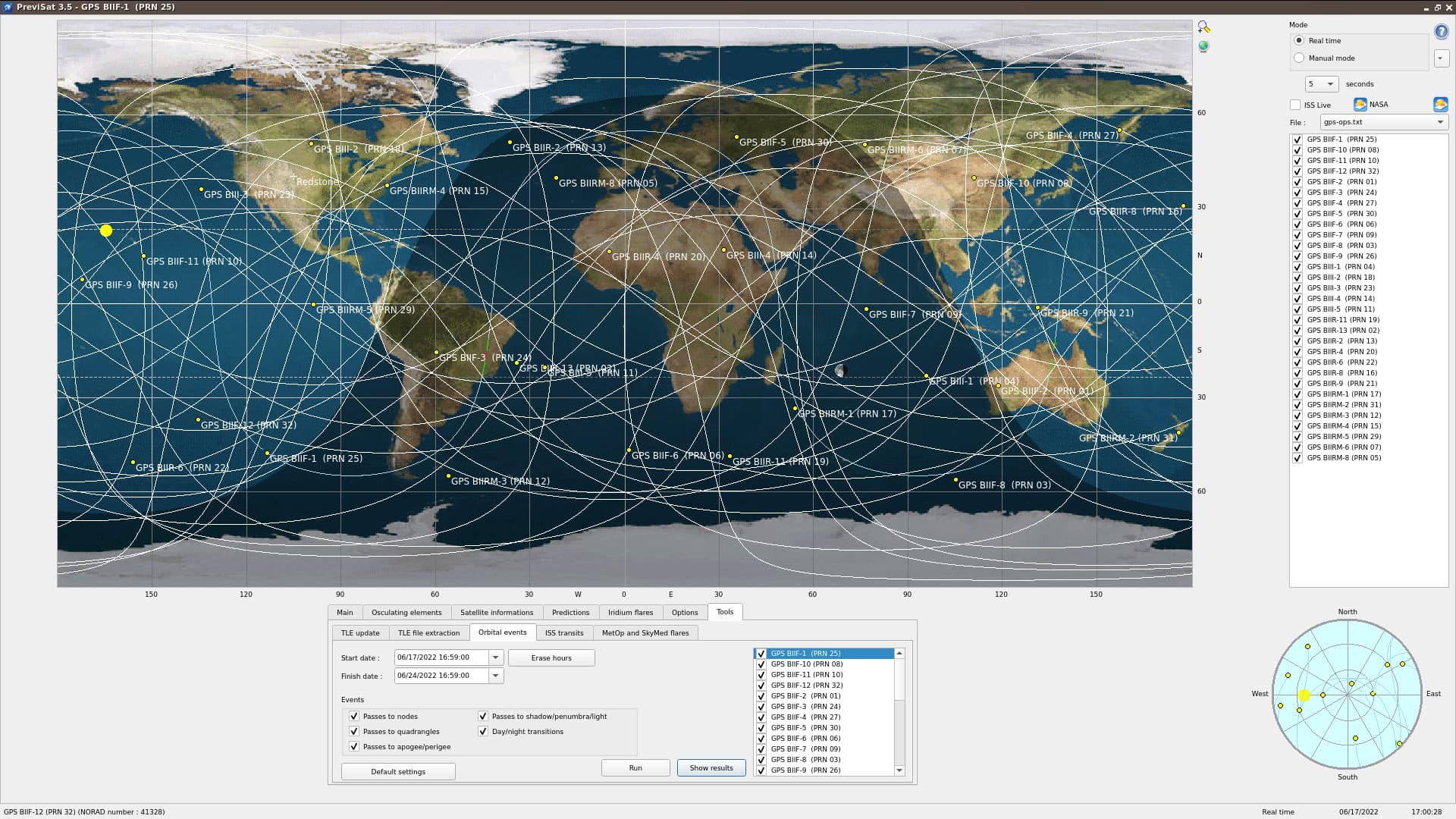
Previsat, also in Debian, looks quite good as well. It can use arbitrary TLEs, autoupdate from places like Celestrak and can also export tables of data.
This is a online solution where you can track satellites. You create a dashboard, add a satellite, or use a custom TLE. You can even add your ground station and calculate future passes. It shows different plots, like 2D or 3D map or a polar plot for your ground station.
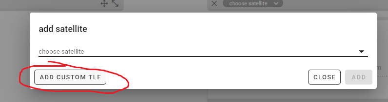
Hi @kerel! Tracksat is a free web application and you’re welcome to use it - https://www.tracksat.space You can visualize custom TLE by adding a “custom” satellite:
It is not open sourced though - we’ve never decided to open it, as we are no longer actively maintaining it, so it would be hard to deal with issues/PRs reported by people. Maybe in the future when we’ll have some active satellites in orbit and we’ll come back to this project in our space time But of course, you can use it any time!
If you release it under a Libre license, you have no obligation to deal with issues. In fact, you could do it as sort of “abandonware”, which is often done, along the lines of “we no longer have the time to maintain this software, so we are releasing it under a libre license for anyone in the community that wants to pick it up”.
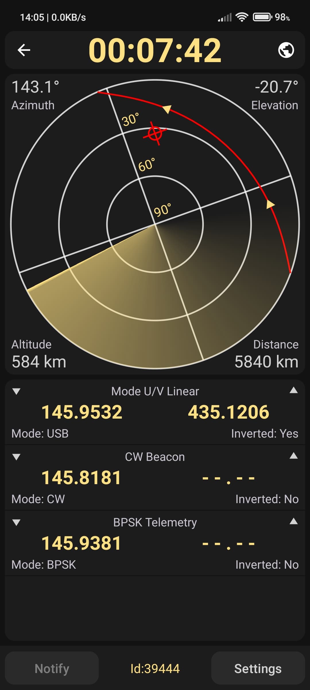
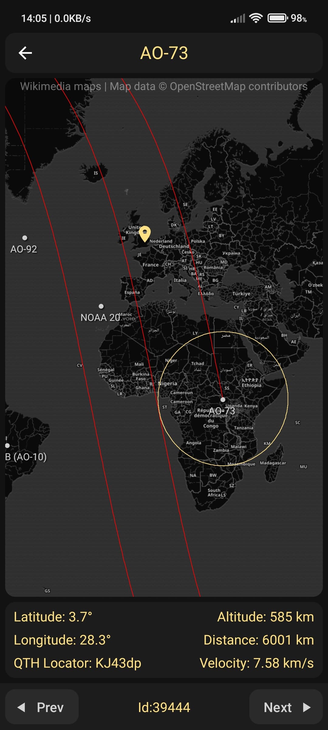
To expand with an example here: The map visualization in satnogs-db and polar plots in satnogs-network were based on a publication with no comments, just the source code + license of some website sources at github:cepr/phonesat-website. They developed a javascript-fork of gpredict. Due to the implicit GPL license of their website we were allowed to use this fork as well, and built the map & polar plots with it.
tl;dr: Please do not hesitate to publish source code under a free license. It can really help the community!
PS: And of course we published the seperated gpredict.js sources as well, so that others can build on it too.
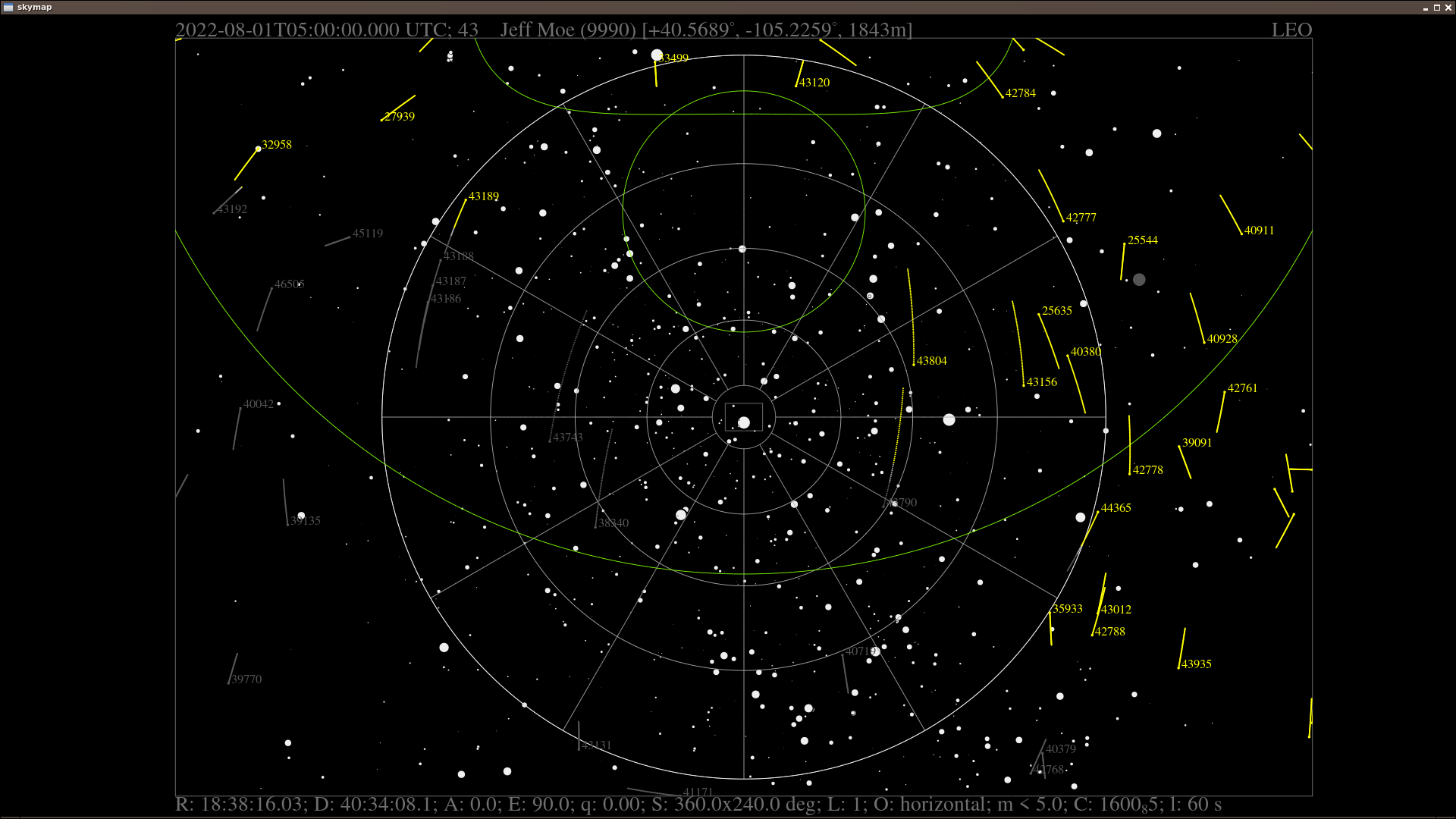
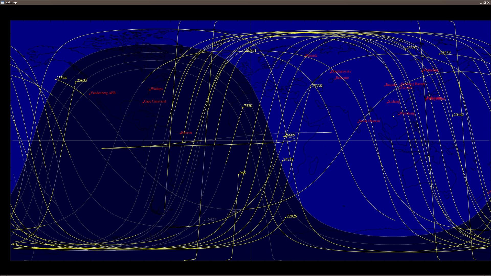
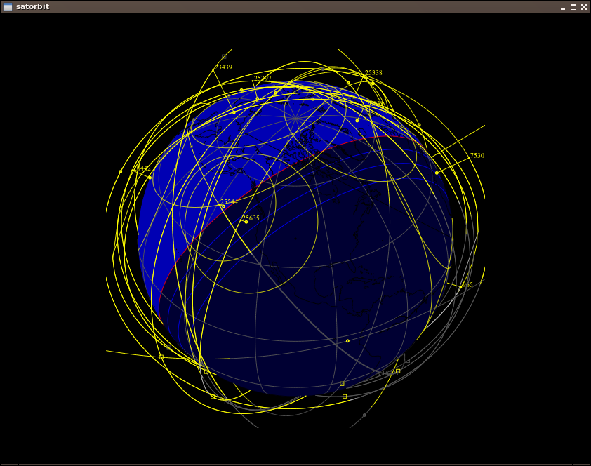
I spent some time getting skymap to work with libre giza since pgplot is closed. It is now in a usable state. satmap and satorbit were also ported to giza.